
Madison Tree Removal Pros gets asked about tree removal permits in Madison, AL more often than about almost anything else, and the answer surprises people: for a tree standing on a finished single-family residential lot inside the city, there is no municipal permit to get. What binds most homeowners here is a private covenant, and for some properties, a height limit imposed by two separate airfield overlays.
That is not a guess or a phone call to a clerk. The City of Madison’s Official Zoning Ordinance runs to well over a hundred pages and regulates trees in considerable detail — natural vegetation on development sites, preservation credit down to caliper and live crown ratio, street tree spacing, and the height of natural growth under two overlay districts. It contains no tree removal article and no removal permit section. A document that specifies a tree’s minimum live crown percentage did not forget to mention removal.
What this page will not do is tell you what Alabama law says about your neighbor’s branches. That doctrine could not be confirmed at primary source level in our own research, and repeating a version of it copied between websites would be worse than useless in a dispute. What we can do, and what most people calling about a neighbor’s tree actually need, is document the condition of that tree in writing.
Permits in Madison and What Actually Binds You
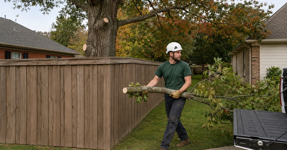
The City Ordinance Has No Removal Permit
The ordinance’s table of contents carries no tree preservation article, no tree removal article and no permit section, and its off-street landscaping requirements apply in all zoning districts and to all uses other than single-family detached dwellings. That last clause is the clean statement of where the city’s tree rules stop and a residential back yard begins, and it is worth knowing before you pay anyone to file something.
HOA Covenants, the Real Rule in Most Subdivisions
A recorded Madison-area declaration provides that no trees may be removed without the board’s consent, excepting diseased or dead trees, trees less than six inches in diameter, trees needing removal for safety reasons, and trees in the immediate location of a building approved by the architectural review committee. The identical clause appears in a second local declaration, which suggests replicated drafting rather than one subdivision’s quirk.
Unincorporated Land and the Two-County Split
Much of this service area sits outside any city limits, where no municipal ordinance reaches the yard. The city itself straddles a county line, and its own ordinance acknowledges as much by measuring nonconforming structure values against either the Madison County or the Limestone County assessor. Which side you are on changes your electric utility and can change your weather zone, so it is worth establishing early.
Height Overlays Around Two Airfields
The Airport Impact Overlay and Obstruction Free Areas
Section 4-15 of the ordinance exists to regulate the height of man-made structures and natural objects within mapped obstruction free areas. The table runs from twenty-five feet above ground level in OFA 1 through fifty, seventy-five and a hundred, up to two hundred feet in OFA 8. Twenty-five feet is under the mature height of essentially every shade tree planted around here.
The Redstone Arsenal Military Compatibility Area Overlay
Section 4-16 establishes a separate overlay for Redstone Arsenal, whose vertical obstruction area sets height limits for structures and natural features to protect flight operations at Redstone Army Airfield, covering land outside the installation boundary within the Department of Defense imaginary surfaces. It adds a wildlife aircraft strike hazard area within five miles of the airfield and a two-mile land use radius. A property can fall under both regimes at once.
FAA Notice, Part 77 and the Variance Route
The ordinance conditions permits exceeding those heights on compliance with 14 C.F.R. Part 77, including submission of FAA Form 7460-1 with a copy to the airport authority, and provides for an ALDOT permit where the FAA issues a determination of presumed hazard. Its own language regulates natural growth being allowed to grow, not merely erected, and a property owner may apply for a variance. We document height, position and species for that application.
Neighbor Trees and Boundary Trees
What We Will and Will Not Tell You
There is a widely repeated summary of Alabama’s neighbor-tree rule circulating online, and we could not verify either of its usual citations at primary source grade. So we do not state it, and we would be careful of any contractor who does — that is a question for an Alabama attorney, and it is a cheap one to ask compared with the cost of acting on a bad summary.
Boundary Trees and Why Neither Side Cuts Alone
A trunk straddling the property line is not one owner’s to remove, and unilateral action there is how a disagreement about a fence becomes litigation about a tree. We will document the stem position relative to the boundary, the crown condition and the failure risk for both parties, and we will not take a boundary tree down on one owner’s instruction without written agreement from the other.
The Documented Hazard Assessment You Can Use
This is the deliverable that actually moves a neighbor dispute: a dated, measured report naming the species, the diameter, the specific defect — a decay column, a root-flare conk, a girdling root, a split union — the targets within reach, and the failure consequence. It is quoted as its own item rather than bundled into a sales visit, and it reads the same whoever eventually receives it.
Development Sites, Preservation and Credit
Natural Vegetation Preserved Along Property Lines
Section 4-13-1 requires areas of natural vegetation, especially trees and shrubs, to be preserved along property lines including fence rows and drainage ways and incorporated into the site’s landscape plan, while noxious and nuisance plants and unhealthy vegetation may be removed as identified on that plan. On a development site, clearing the boundary vegetation because it was inconvenient is a plan revision, not a shortcut.
Preservation Credit and the Protection Barrier
Section 7-5-1.G will count an existing tree as one and one half of a required tree, but only on six conditions: at least four inches caliper, not a sap-producing or infrastructure-damaging species, at least two feet from the nearest planned curb in a planting area of at least a hundred square feet, a live crown of at least thirty percent of tree height free of serious injury, marked on the plan to be saved, and protected by a durable physical barrier with grade cut or fill under eighteen inches.
Street Trees, Buffers and Sight Triangles
Street trees are required along arterial and collector streets at a maximum spacing of forty feet on center from the city’s approved list, and buffers along public rights of way take one shade tree per thirty feet of frontage. Separately, clear visibility must be maintained between three and a half and eight feet above the surface within required sight triangles, which is often the real reason a crown needs raising.
- 20+ Years in the Tennessee Valley
- Free Written Estimates
- Crane and Narrow-Access Equipment